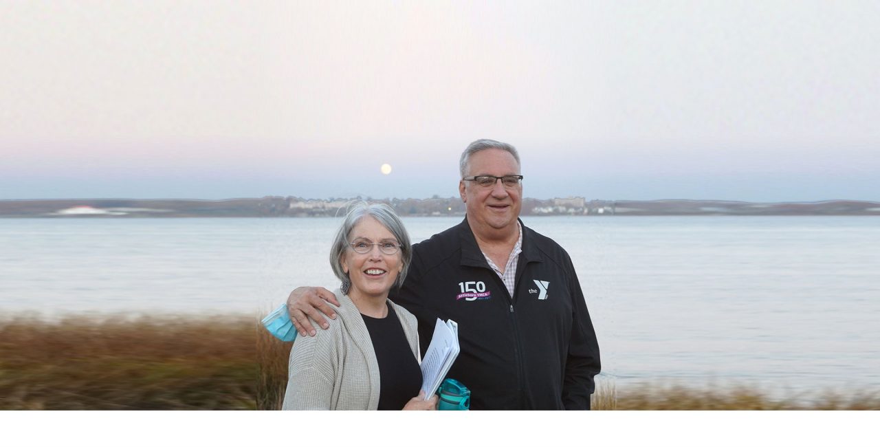
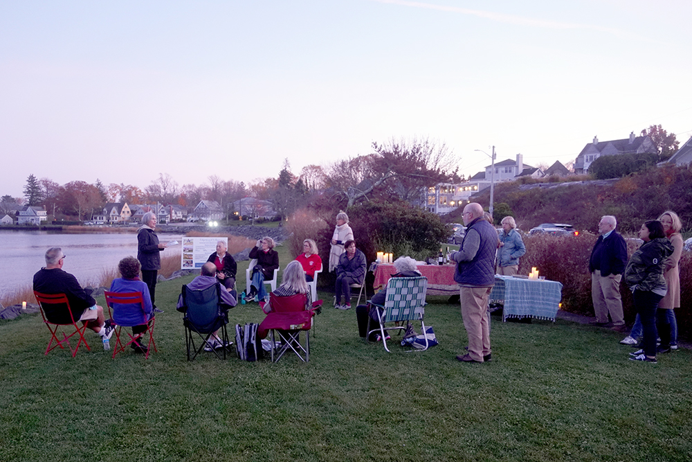
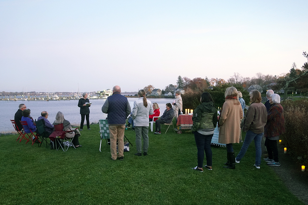
The Edgewood Village invited Board President Barbara Rubine to tell their group about the history of Stillhouse Cove, Salt Marsh and Park. Here are her comments, The Short Story.
November 18, 2021
I want to thank Michael for his invitation to talk today about the history of Stillhouse Cove, I think. I say that because I have been so immersed in various aspects of this property for so long that, honestly, it is very challenging to focus on a short or quick study of this property that is historically accurate. I am going to do my best to keep you interested for the few minutes I have to generally outline how this property became a park, why it is so historically and environmentally important to the neighborhood, the City, the State of Rhode Island, and the country.


This park land that we are standing on was agricultural property that was part of the Brattle Farm. The property that comprises the park spans from Ocean Avenue to Strathmore Place, about one half mile of waterfront. The name “Stillhouse” came from a distillery that was owned by Joseph Rhodes and was located approximately where Trinity Church is situated today. The home and distillery owned by Joseph Rhodes no longer exists.
As background to this history, it is interesting to note that the road we now identify as Ocean Avenue, was known as Stillhouse Lane or Distill House Lane, changed to Carey Lane around 1850, and later Ocean Avenue when Sheldon Street was opened up to the head of Pawtuxet Cove. The distillery shipped rum from the wharf that was located at the eastern end of “Ocean” Avenue and brought in molasses as a raw material for the production of the rum. (The wharf is no longer there but if you walk on Ocean Avenue and turn onto Fort Avenue you can find evidence of the old wharf when you examine some of the potholes.) The shipment of rum from this Cove was related to the very active shipping port in Pawtuxet. The wharf at the end of Ocean became significant in 1772 when the injured Lt of the HMS Gaspee was taken ashore there and walked to the home of Joseph Rhodes where the injuries he sustained in the now famous encounter were addressed. Lt William Dudingston, of the British schooner Gaspee, was brought ashore at Stillhouse Cove on the night of June 10, 1772 and was carried up Stillhouse Lane to the home of Joseph Rhodes until he recovered. The monument in the center of the park was placed here by the Bicentennial Commision in recognition of the role the Cove, wharf, and Joseph Rhodes played in this historical event. The other prisoners taken during the encounter with the Gaspee on June 10th were brought ashore on Peck Lane in Pawtuxet Village. Peck Lane runs behind the condo development along the Pawtuxet River near Pawtuxet Park. It is important to note that there are several sites in the neighborhood that played important roles in the aftermath of the sinking of the Gaspee.
Back to this land today. The Brattle Farm, comprised of 35 acres, was acquired by Orray Taft. It became the family estate with the main house and numerous outbuilding located on what is now Circuit Drive. When Orray died in 1865 the property was turned over to his son Edward Taft who was an owner of a cotton mill in Connecticut, president of the Providence & Stonington Steamship Company, a director of a Bank, an insurance company, and railroad. Edward Taft invested extensively in Edgewood, acquiring a 22 acre farm north of the Brattle property, lots along Ocean Avenue, and more. He died in 1899 and his son, administrators, trustee, and other relatives decided to sell off much of their real estate holdings in Edgewood.
In 1901 a developer purchased the northern half of this park property and points north. The Aberdeen Plat was platted and re-platted for sale and development. In 1904, Stephen Brown, a retired dealer of gas fixtures, purchased the southern property and made the development of the Taft estate his chief business venture. Think of this park as two distinct parcels of land with the center point being Windsor Road. South of Windsor Road the land was purchased by Stephen Brown, north of Windsor the land was purchased by a development company who plotted and re-plotted the land over a number of years.
The Taft Estate Plat, under the ownership of Stephen Brown, developed quickly, spurred by improvements in the trolley system around 1900 and increasing automobile usage. The automobile, practically unknown on city streets in 1896, made a significant contribution to the suburban development here by 1909. By 1920, 72% of the Taft Estate was developed property, 85% by 1930. This land, with beautiful vistas of Narragansett Bay that were above the flood plan, with houses all within a five minute walking distance of the waterfront, with roads that curved around the topographical features of the area, contributed to the development of the neighborhood. Many years later, in 2003, the Taft Estate was nominated and accepted by the National Park Service to be on the National Register. Interesting to note, however, was that this nomination did not include the waterfront property that was originally part of the Taft Estate and did not include the land that comprises Narragansett Boulevard. The “Boulevard” with Stillhouse Cove in the background, appears in a well know photograph of a historical journal from 1915, was land formerly owned by Taft and deeded to the City of Cranston for the creation of a road. (The Boulevard was widened in the 1940s as more and more automobiles were on the road and as the neighborhood became more densely populated). The omission of the waterfront was an unexplainable oversight in the National Register application of the Taft Estate that EWPA sought to correct in 2014 when a historical consultant was hired to prepare an amendment to the original application. This amendment added the southern end of the park, from Windsor to Ocean, as part of the Taft Estate. The northern end of the park, part of the Aberdeen Plat, was added to the National Register when EWPA urged the City of Cranston to apply for a grant to research the Aberdeen Plat and apply for National Register status. The Plat, the last piece of the neighborhood that was not on the National Register as part of the Edgewood Historic District, was accepted by the National Park Service in 2015. The two park pieces, united in 1915 by the Metropolitan Park Commission, were reunited again for their historical contribution to the development of the neighborhood.
To understand what the qualifying charcteristics were of the Taft nomination, here is a quote from the application:
Quote: “The Taft Estate Plat Historic District is significant as a pre-World War II suburban subdivision which exemplifies the trends that influenced the transformation of the Edgewood Section of eastern Cranston from an agrarian community of dispersed Colonial and Federal farmsteads to a sparsely settled region of country houses and summer resorts, and finally to a more densely developed streetcar and early-automobile suburb of the late nineteenth and earty twentieth centuries. It became what we recognize as a garden suburb.”
So how does this relate to what we recognize today as a park? The land was waterfront farm land, became the recreational playground of the industrialist Orray Taft and his son Edward. It was sold off to two different developers, becoming the Aberdeen Plat to the north and owned by Stephen Brown to the south. Simultaneously, as industrialization expanded in cities, including in Providence, a movement began to form thoughout the country to save some land from the rapid development of industry. Cities were becoming densely populated, dirty, pollution of air, land, and water was impacting the quality of life of workers, and a movement to address the growing access to clean water and air that provided easy access to recreational opportunities was forming throughout the country in Chicago, New York, Boston. Frederick Law Olmstead was active in the effort to assist cities in rescuing green space that would facilitate a reconnection with nature that was close to work and close to home. In Rhode Island, in 1906/1907, the Metropolitan Park Commission was formed to identify parcels of property to become scenic “parkways, riverways, and spaces that would enable people to escape the unhealthy work environments and find opportunities to link people with nature.
In 1912 the MPC identified Stillhouse Cove as a desirable piece of property to protect for its visual access to Narragansett Bay and for the immediate access to nature that it gave to local residents. SHC met the criteria of the commission to identify and acquire small parcels of land within a short distance of the newly built State House that would enable city workers, urban dwellers, and local residents an opportunity to experience nature within a short distance of both home and work. On April 23, 1915, the General Assembly passed legislation allowing for the condemnation of several properties to be used by the public for the promotion of the public health and convenience.
STILLHOUSE COVE RESERVATION, along with other parcels of land in Cranston was created as a result of this act with the full support of the General Assembly and the endorsement of the Providence Chamber of Commerce. The MPC comprised of the mayors of Providence, Pawtucket, Central Falls, the presidents of seven town councils including Cranston, the President of Brown University, the president of the Chamber of Commerce of Providence, the President of the Providence Art Club, and the Director of the Rhode Island School of Design, together with well known businessmen. Their work, for which there was no compensation, took decades that spanned both World War I and the Great Depression. Work began in affluent times and then the economy changed. While the MPC dissolved in 1935, the work of managing parks was continued by the predecessors of what we recognized as the Dept of Enviromental Management. The mission of the MPC was to create parks in urban areas that would serve as “ventilators and air-holes, that parks would become the “lungs of the city” was a success.
But the formation of this park by the MPC in 1915 is not the end of the story. In 1984, DEM wanted to unload small parks, or reservations that were created to link to Providence through a series of scenic parkways for cars and rivers and streams for canoes (Veteran’s Memorial Parkway in East Prodence, Narragansett Parkway in Warwick, Dean Parkway in Cranston). While the MPC wanted to rescue marginal scenic areas threatened by industrial blight and urban sprawl, DEM wanted to spin off these small parcels into the hands of local communities so that they could focus on larger parks like Goddard Park, Lincoln Woods, Scarbough Beach, Colt State Park.
DEM offered Stillhouse Cove to the City of Cranston for the sum of $1 in 1984. When word got out about this transfer, a few local residents contacted both the mayor of Cranston and the Director of DEM and advocated that this deed to the City include language declaring this property a conservation area. Between the time that the MPC had disbanded and the various reiterations of what we now call DEM evolved, the property was neglected. In 1978 the City of Providence dumped snow here from the blizzard of 1978. In the immediate years after that invasive trees and weeds choked the marsh and waterfront. Stillhouse Cove had moved from an important factor in the development of the neighborhood to a condition of neglect that required extensive, long-term environmental restoration and ongoing public and private investment to bring this property to the condition you see today.
Important to remember: This property, all of it, is on the National Register of important places. In 2014 the southern end of the park was added to the National Register through an amendment to the Taft Estate. In 2015 the northern end of the park was added to the National Register of Historic places when the Aberdeen Plat completed the connection for the entire Edgewood neighborhood to form a National Historic District.